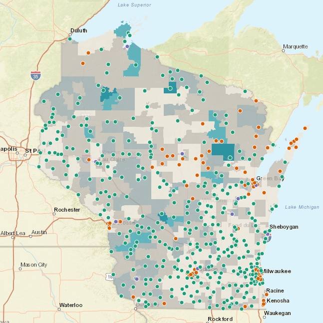
Census block poverty data
In this guest post – GIS + Library Data: Creating and using library-related spatial datasets (viewed at ArcGIS StoryMaps) – by GIS Technician Shelley Witte, we get to see the value of displaying combinations of data in ways that are both visually engaging and meaningful to the library and your community. As Shelley points out the heart of this post is to show you that, “GIS can be a driver for more effective outreach and engagement that can bring about more equity and prosperity to the people in your communities!” Through an illuminating display of public library and system locations, Census block groups, and GIS network analysis, we can see information displayed spatially that can tell you so much about your library geographically and how it relates to your community.
Explore the Public Library Accessibility map.
Explore an interactive map containing public libraries, branches, and library system data.
Guest post by: Shelley Witte, GIS Technician, Data Warehouse & Decision Support team at the Wisconsin Department of Public Instruction